
AI-Powered Aerial Surveillance
for a Safer World
Deploy autonomous drone networks with real-time AI threat detection across smart cities, borders, and critical infrastructure. From alert to action in under 90 seconds.
Operational Domains
AI-Powered Drone Surveillance Across Critical Security Environments

Smart City Security
AI-powered city-wide monitoring, traffic surveillance, crowd management, and emergency response systems operating 24/7 across metropolitan areas.

Police Surveillance
Real-time crime detection, suspect tracking, and rapid law enforcement response with AI target lock and behavioral anomaly detection.
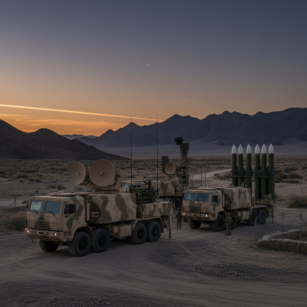
Defense & Border Security
Autonomous border monitoring, intrusion detection, and national security surveillance with thermal vision and radar scanning across vast perimeters.

Critical Infrastructure
Protect power plants, industrial zones, airports, and oil refineries using AI-based aerial monitoring, security grid analysis, and instant threat alerts.
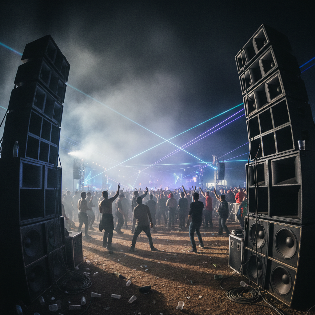
Event & Crowd Management
Monitor crowd density, detect suspicious activities, and improve public event safety with live heatmap tracking and behavioral anomaly detection.
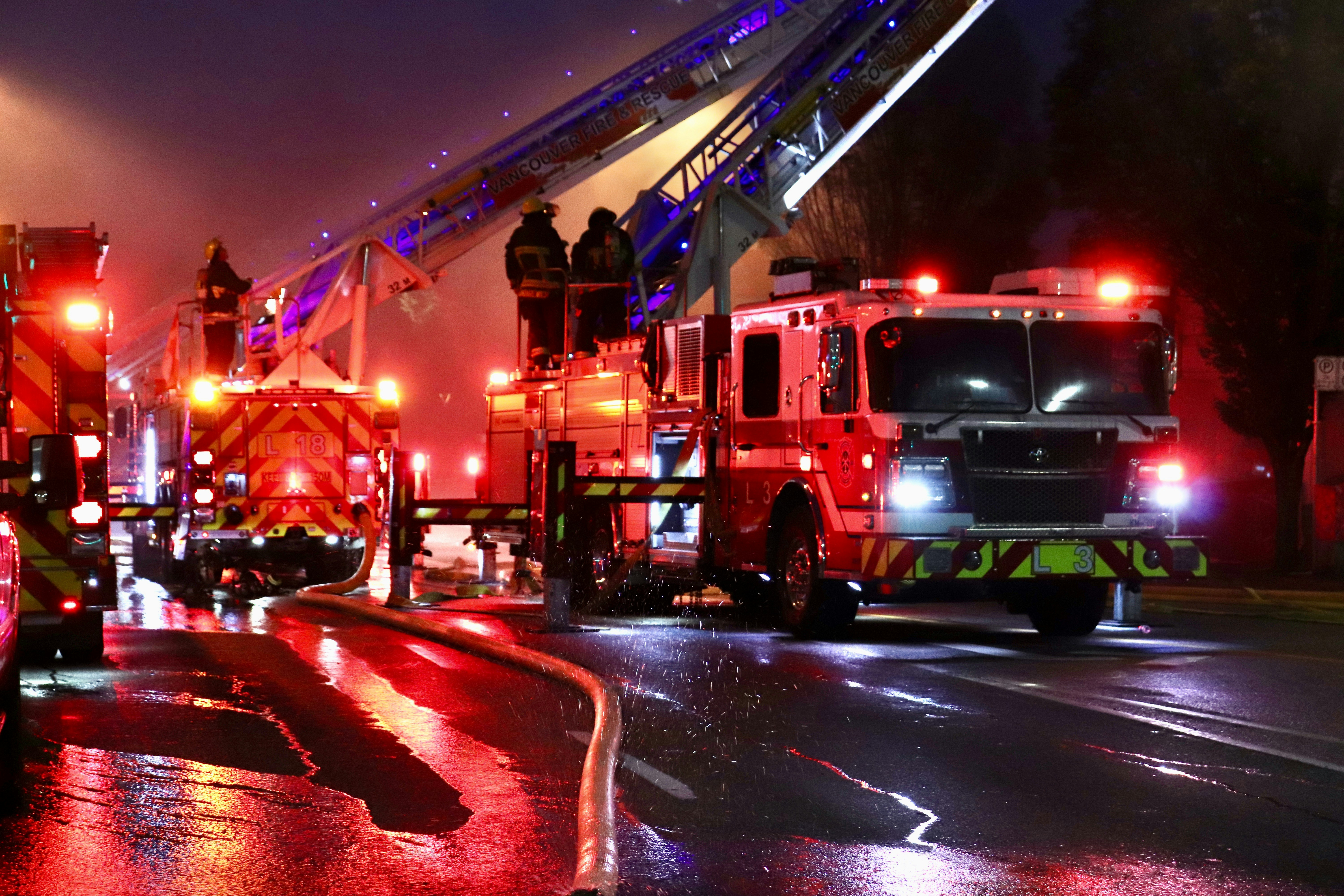
Disaster Response
Thermal human detection, live aerial rescue support, and emergency coordination during floods, fires, and natural disaster scenarios.
Military-Grade AI Technology Stack
Every component purpose-built for defense-grade reliability, speed, and accuracy in the most demanding operational environments.
Neural Threat Detection
Multi-layer convolutional neural networks trained on 50M+ labeled threat scenarios for real-time object classification and behavioral analysis.
Thermal & Multispectral Vision
Fused sensor arrays combining RGB, thermal IR, and LiDAR for complete situational awareness in any lighting or weather condition.
Autonomous Swarm Coordination
Distributed AI enables fleets of 100+ drones to self-organize, maintain coverage, and dynamically reassign tasks without human intervention.
Encrypted Mesh Network
Military-grade AES-256 encrypted peer-to-peer mesh communication with zero single point of failure and automatic relay failover.
Real-Time 3D Mapping
Continuous photogrammetric reconstruction creates live 3D terrain maps at centimeter resolution for tactical planning and incident response.
Sub-90s Incident Response
From anomaly detection to drone dispatch and first responder alert — our AI command pipeline executes in under 90 seconds, every time.
◈ AeroShield AI ◈
Meet The Founder
Visionary Behind AeroShield AI
PROFILE
AEROSHIELD AI // LEADERSHIP
Janki Rajput
Founder & CEO — AeroShield AI
Janki Rajput is the founder of AeroShield AI, an AI-powered autonomous drone surveillance startup focused on transforming public safety, smart city security, and defense monitoring using intelligent drone technology, real-time threat detection, and futuristic AI systems.
◈ VISION STATEMENT
“Our mission is to build intelligent AI-powered aerial security systems that create safer cities, faster emergency response, and smarter public safety infrastructure.”
Request an Operational
Briefing
Our defense technology specialists will prepare a classified deployment assessment tailored to your operational environment and threat profile.
All inquiries are treated as confidential. AeroShieldAI operates under ITAR compliance and works exclusively with vetted government, military, and enterprise clients.
Operational Assessment Form
All fields encrypted in transit. ITAR compliant.